Our Roofing Company Serves Queens, Manhattan, The Bronx and Brooklyn, NY
Protect Your Property With a Sturdy Roof
Make us your roofing company of choice in Brooklyn, NY
If you need a new roof installed on your structure, contact Fix A Roof. We provide roof installation services in Brooklyn, NY and surrounding areas. Our roofing contractors will install a durable flat roof that will protect your place of business from the elements. Once we're done, you won't have to worry about leaks or structural issues.
Get in touch with our roofing company now to schedule a visit from our team.
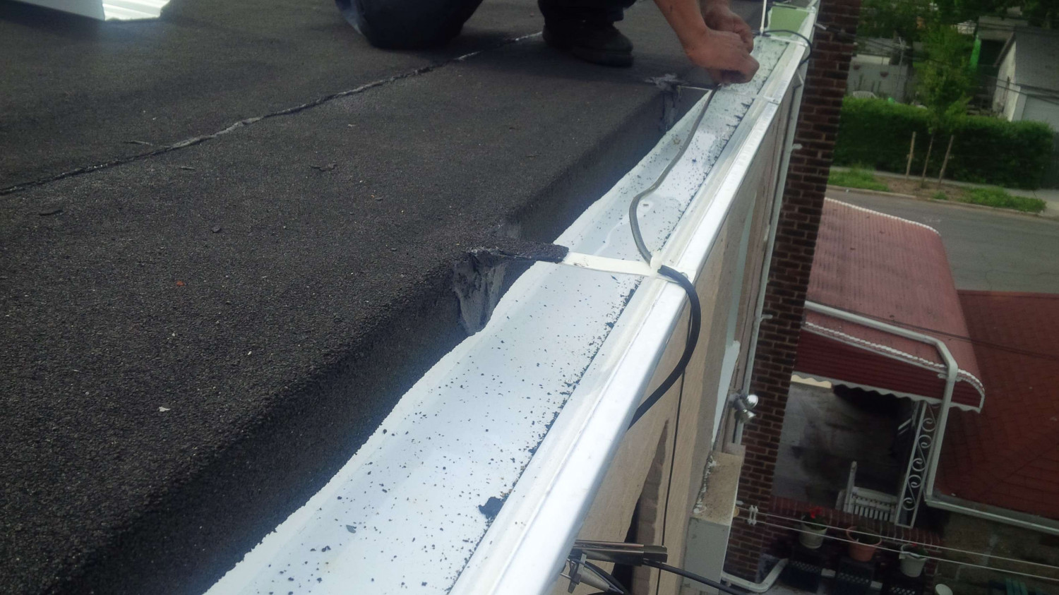
Install Seamless Gutters at Your Home
Rely on us for gutter services
Contact Us
Why choose Fix A Roof?
There are several reasons why Brooklyn, NY area residents prefer working with our roofing company. For starters:
We're properly licensed and insured
We offer free roofing estimates
We provide a 10% senior discount
We take on residential and commercial jobs
We'll complete your job in a timely manner
Questions? Call us at 718-442-5221 to find out more about our roofing, masonry and gutter services.